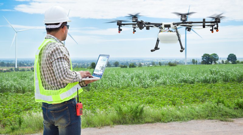
Aerial Survey, also know as UAV (Unmanned Aerial Vehicle) aircraft are becoming more and more popular in Hong Kong, and The application of aerial photography in building surveying has become more and more extensive in the year; Including the application of unmanned flight system technology in various Survey work, and use drones for surveying and mapping, land execution In charge of work.
Aerial survey:
Advantages: low cost
Disadvantages: 90% accuracy